I made a number of fundamental errors while taking these photos.
Oh, well. Live and learn. I could always buy another Discovery Flight, or otherwise charter another flight.
Here is a map of the "target" area (be warned, this
requires access to Google Maps and for JavaScript to be
allowed):
View larger
map
Here is the Blogger post describing the whole story.
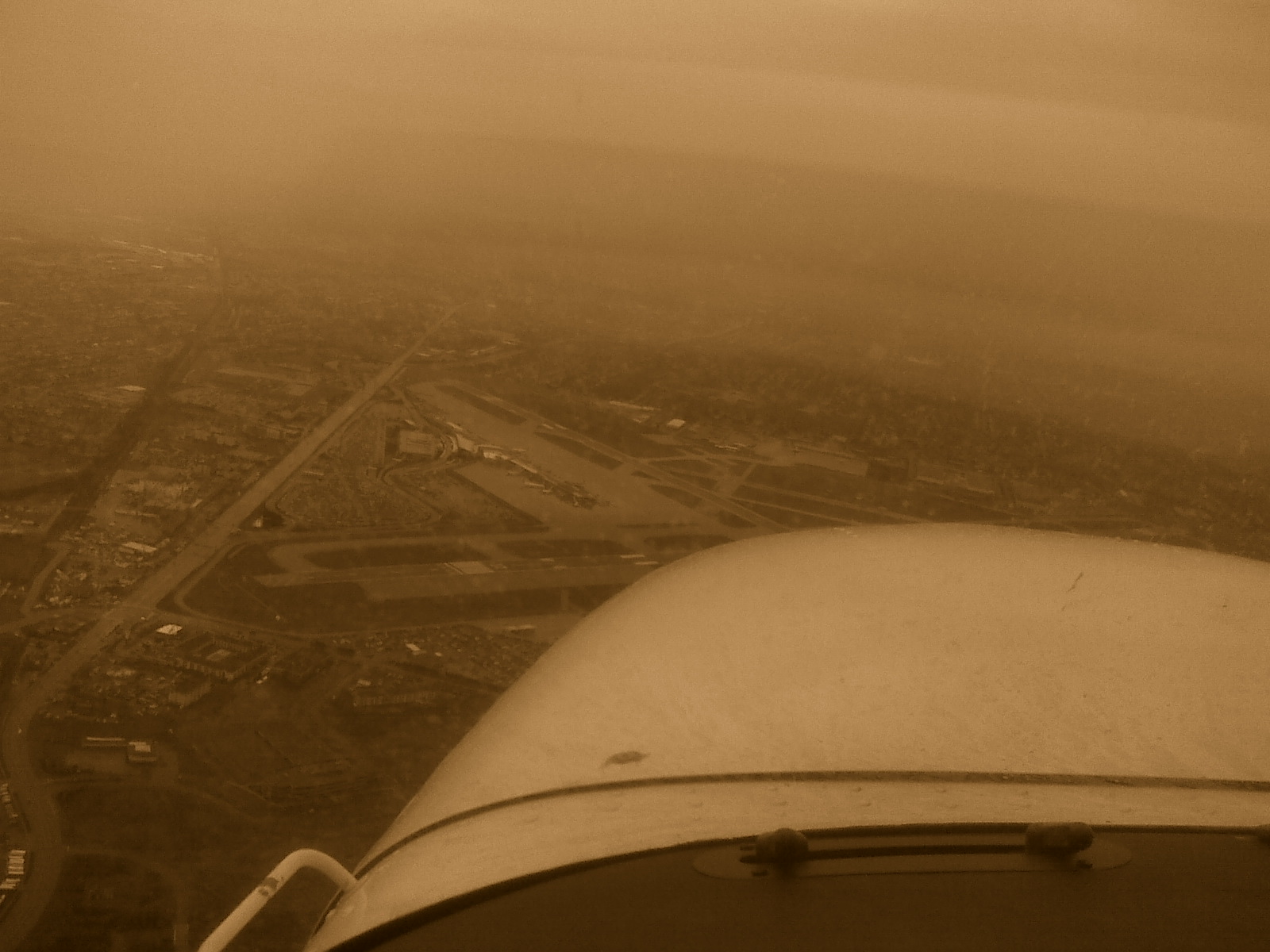
A view of Buffalo-Niagara International Airport from the east of it, with rain falling just west of it (estimated heading: 260°):
Viewing rain coming down from clouds in the distance from the ground looks similar, but not quite like what I saw this day.
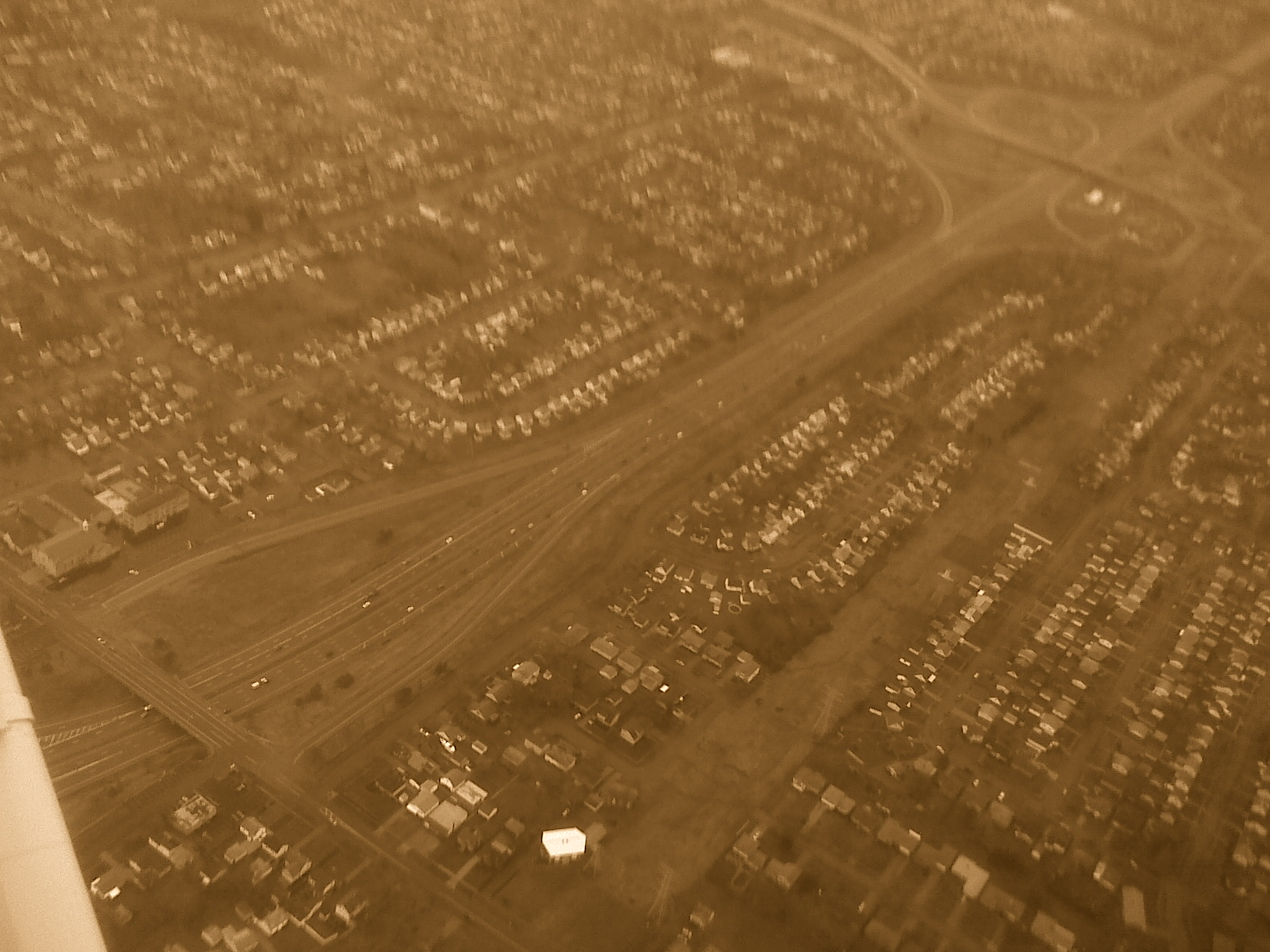
Two views of my neighborhood:
This is one where we were flying at a heading of about 200°.
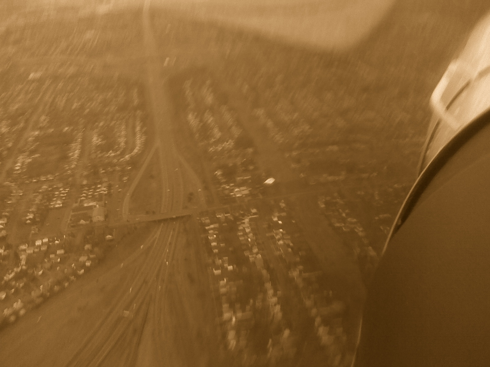
This is a few seconds later when we were almost over Cleveland Dr. My street is barely distinguishable by the rows of houses on the east and west of it. The camera is pointing approx. SE. The 90/33 interchange to the south of my street is visible in the upper right corner of the picture.